AgroByte is a New Jersey-based company specializing in precision agriculture solutions. Recently, the 325 acres Hawk Pointe Golf Club gave AgroByte the mission to understand how they can manage their turf more efficiently.


In order to achieve Hawk Pointe Golf Club’s goals, AgroByte came up with a 5 step plan:
- Map out the entire area using LIDAR and Photogrammetry
- Obtain millions of point clouds to capture elevation and specific coordinates in order to create a 3D model
- Gather the NDVI and VARI vegetation indices in order to calculate the biomass
- Program a drone to automatically apply foiler in designated areas
- Calculate water usage for each zone in order to automate sprinklers
Equipment
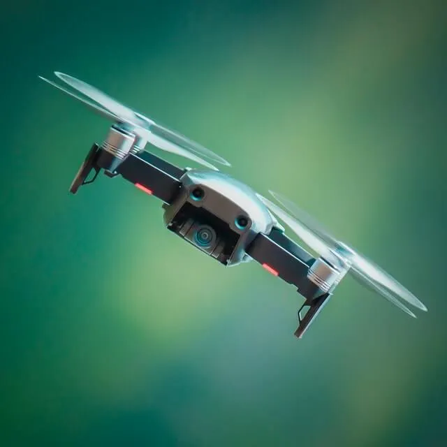
Assessing 325 acres and providing more than one solution is no easy feat. It requires an experienced team with top-grade drones and equipment. For this task, AgroByte used:

Drones:
- Matrice 210
- Autel Evo 2 8k
- DJI Phantom 4K
- Agras MG1p
Sensors:
- X4S Sensor
- MicaSense RedEdge MX
- LIDAR GeoSlam Zeb Horizon
Step 1: Map out the area using Photogrammetry
In order to provide solutions, the team needed their equipment and themselves to get familiar with the golf course. The first step was to get a visual layout of the entire area using photogrammetric sensors.
Using the Autel Evo 2 equipped with X4S sensors, their drone took thousands of RGB images. This laid the initial groundwork for their 3D model and effectively created a 2D map of the entire golf club.
Step 2: Use LIDAR to complete a detailed 3D model
Creating a 3D model was important to visually understand the elevation and coordinates of golf holes, sandpits, and sprinklers. To add that extra layer of information, they used LIDAR sensors.
For this step, they used a DJI Phantom 4k, with a LIDAR GEOSlam ZEB Horizon sensor. They invited Map Lady to do the honors, where she lead Agrobyte in mapping out the field in order to obtain millions of point clouds.

With the thousands of RGB images and precise elevation and GPS coordinates, the team created a 3D model that laid the foundation to provide solutions.
Step 3: Obtain the vegetation indices to start the turf management
With knowledge comes great responsibility, and results! Through the extensive groundwork, AgroByte was able to start understanding the biomass of the golf course.
The 3D model helped the team use multiple drones to divide and conquer the 325-acre golf club. AgroByte used the Matrice 210 with a Micasense Red Edge Multispectral Sensor in order to obtain the NDVI and VARI vegetation indices. From there, they calculated the biomass of the golf club and can recommend how to optimize water and foiler usage.
Step 4: Automate a drone to apply foiler
With all data points collected, turf management begins. The first solution was to use a drone that will fly and apply foiler automatically.
Thankfully, Hawk Pointe Golf Club had in the prior purchased an Agras MG1p but needed AgroByte’s guidance in how to effectively use it. The team taught the golf club how to operate the drone, and programmed it to automatically fly and apply foiler at designated zones. The drone is also programmed to apply specific amounts per zone, due to the NDVI and VARI vegetation indices.

Step 5: Automate sprinklers for optimized water usage
With the data provided, AgroByte was able to provide the proper instructions on how to automate their sprinkler system. By doing so, Hawk Pointe Golf Club can rest easy knowing that each zone is getting the proper amount of water.
Conclusion
Drones can provide easy yet precise solutions to large agricultural landscapes, such as a 325-acre golf club. With the proper team and equipment, data can be collected in order to provide better turf management solutions.
SkyWatch is a proud partner in providing peace of mind to companies such as AgroByte where their only worry is 3D mapping and turf management.


