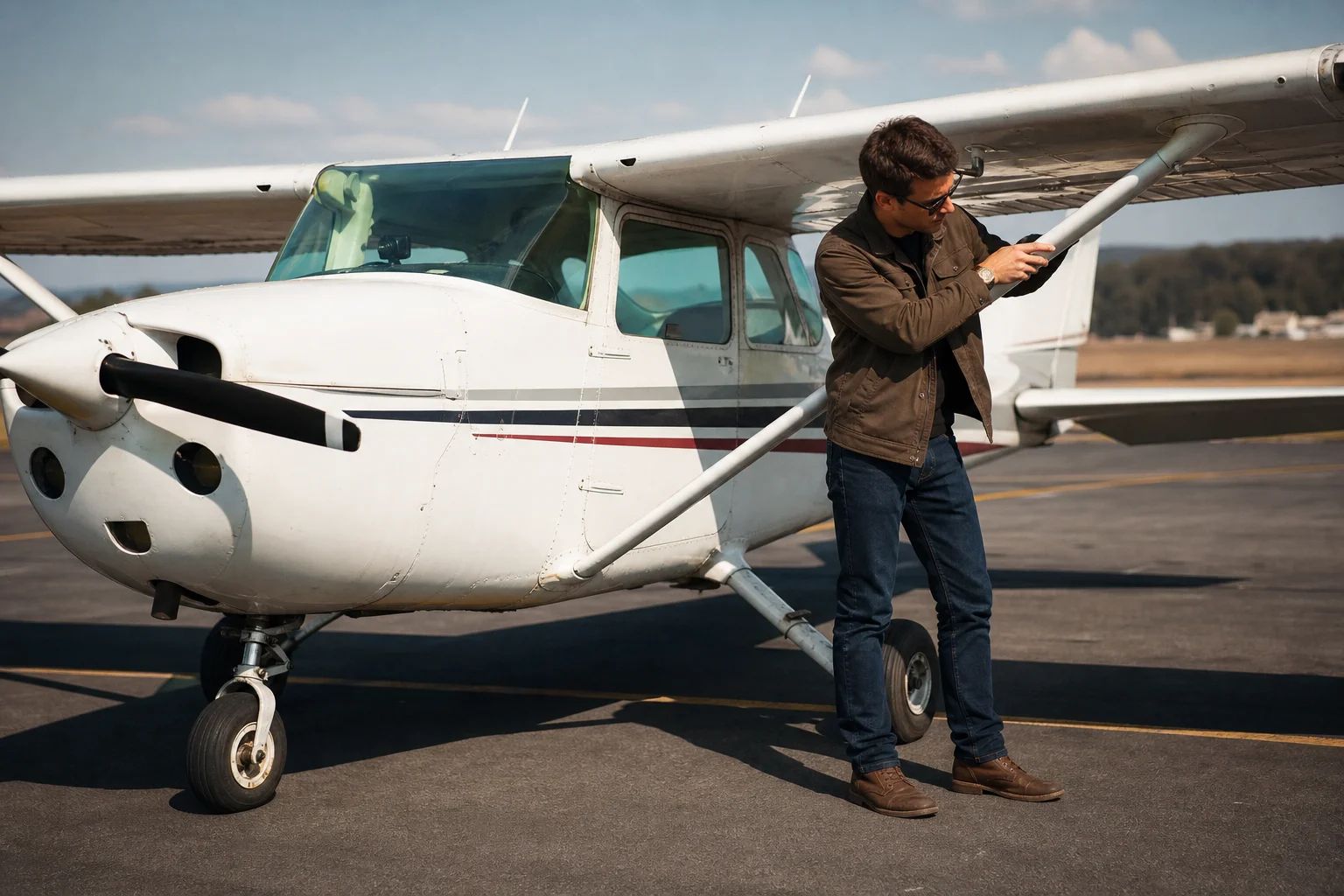
Whether you’re new to flying drones or a veteran, hobbyist or professional, you’ll need more than a mobile app to power up and operate your drone.

DJI, Autel, Parrot and other comparable manufacturers have designed their native flight control apps to help you conduct safe and effective missions. However, it would be impossible for them to pack in every single feature necessary to get the most out of each drone flight without overwhelming the user.
The following 8 applications will ensure you’re properly prepared for any operation. From insurance to authorizations, pre to post-flight planning and more, here are some must-have apps to add to your arsenal.
Kittyhawk

Kittyhawk was tapped by the FAA to help revamp their B4UFly safety and awareness app, so you know that the data they provide is top-notch. Low Altitude Authorization and Notification Capability (LAANC) requests are free. You can also plan missions ahead of time, create pre and post-flight checklists, conduct automated flights, log flight hours, and monitor aircraft battery performance.
The interface on this app is expertly-designed and user-friendly, which makes it an overall delight to use for safe and compliant flight planning. Kittyhawk is free to download. Those seeking out more sophisticated features, including team management, can contact their sales team for enterprise memberships
UAV Forecast

This is another app every remote pilot should check before launching their drone. UAV Forecast gives you updates by the hour on important weather conditions including wind speed, wind gust direction, the probability of rain, cloud cover, visibility and local temperature.
What’s especially helpful is that you can also look up wind speed by altitude. Recently, some friends and I decided to pass on flying near Willis Tower, in Chicago. Even though it was calm on the ground, UAV Forecast notified us that winds exceeded 40 miles per hour starting at 1,000 feet AGL. The app, which is free to download, will also alert you to no-fly zones and other flight restrictions in the area.
Sun Surveyor

Have you ever travelled to a location for an epic sunrise, sunset or other ideal condition that could enhance your photos only to discover that reality didn’t meet your expectations? If you’ve ever been disappointed with the outcome of a shoot, chances are you weren’t using Sun Surveyor in your pre-flight planning.
You can either pay $9.99 or download the Lite version of this app. At its most basic level, Sun Surveyor gives photographers real-time information, including positions, on movement of the sun and moon during sunrise, sunset, and moon phases. By determining the position of the sun or moon at any given time, plus get a visual of how shadows may cast in certain areas, you can plan ahead to get the best shot possible.
DroneDeploy

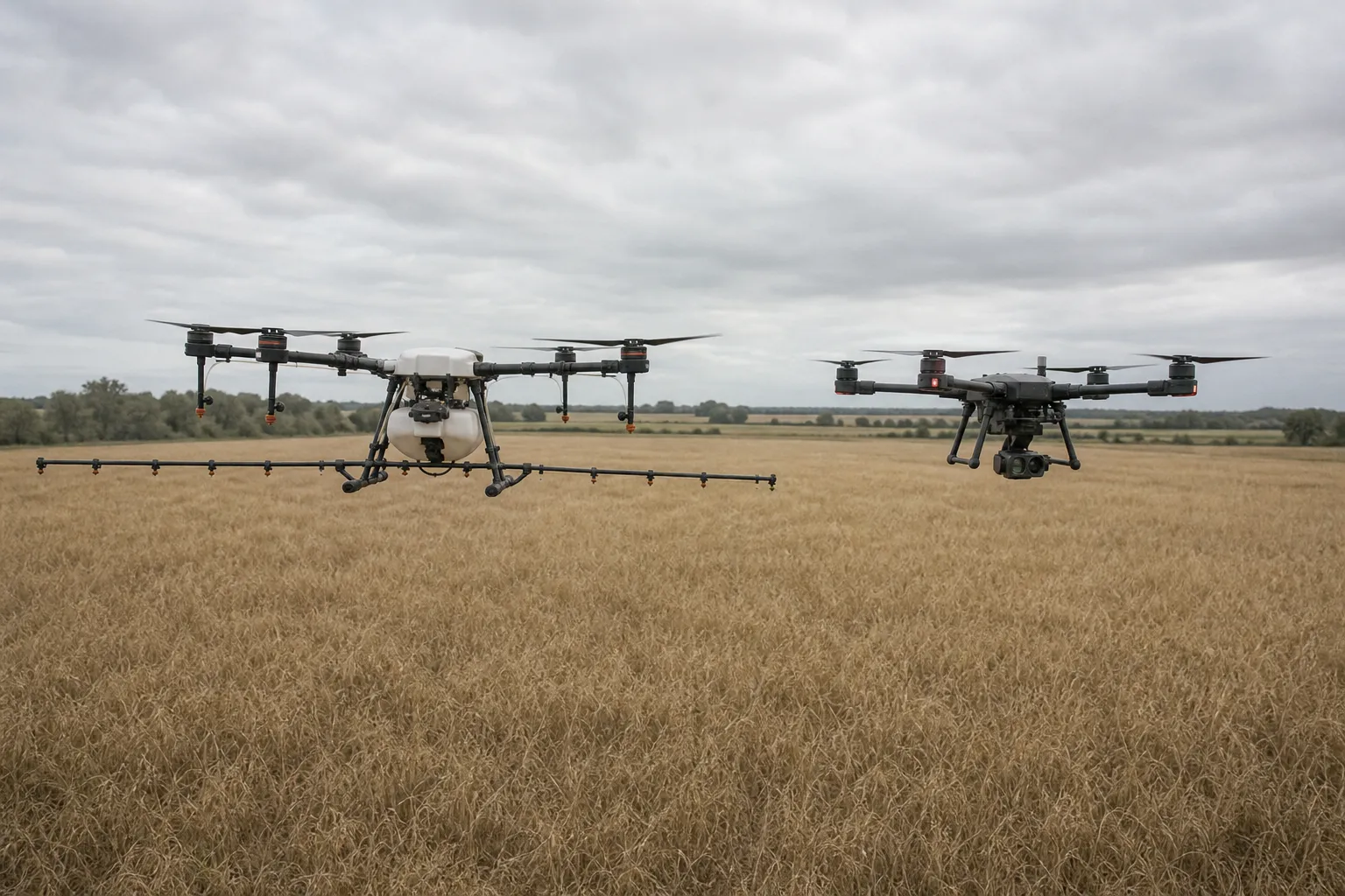
Photogrammetry is a process where hundreds of photographs are stitched together to create a topographic map of land, including mountains and fields, or a 3D model of an object such as a building. They also give users the ability to capture thermal imagery for inspection purposes.
DroneDeploy and Pix4D, whose app is mentioned in the next section, are two leading services that enable your drone to fly automated missions and capture imagery of a pre-selected area. The software then analyzes and processes it into easily shareable information.
The app itself is free to download. However the benefits you’ll receive from using it depend on which monthly paid plan you choose. Lastly, DroneDeploy also has many app integrations and can make it easy to sync flight data.
Pix4Dcapture

Pix4D is another leading surveying and mapping tool. There are a few Pix4D apps on the market, this one is geared specifically toward 3D mapping and modelling. There is speculation that Pix4D can generate survey-grade data with <1cm accuracy versus 1 - 5cm in DroneDeploy’s case, but I would invite you to try out both apps and discover which one satisfies your specific requirements.
The app is free to download but is also a companion to Pix4D’s photogrammetry software that you’ll need to pay for in most cases. It’s also important to note that not all drones or controllers are compatible.
Google Earth

Take a look on Instagram or Twitter and you’ll consistently find images of beautiful places that inspire you to explore the world. If you’re looking for places less traversed, even nearby, Google Earth is the ideal app to install. I’ve found some stellar spots, that allowed me to capture unique photos, by spending periodic bouts of downtime scrolling through Google Earth’s satellite imagery.
Litchi

Litchi is a popular go-to alternative for DJI’s GO, GO4, and now Fly apps that power the Mini series and Mavic Air 2. It allows you to plan waypoint missions ahead of time on your desktop before heading out for your flight. Litchi also features a set of autonomous intelligent flight modes including the ability to track subjects. Personally I think the panoramas and tiny planets, that are automatically stitched together, are superior in quality.
Purchasing the Litchi app involves a one-time cost of $24.99. I have yet to see any user complain about the price. Best yet, it can be installed on DJI’s Smart Controller.
SkyWatch

While drone insurance isn’t a legal requirement in most places, it is highly recommended that you have a policy in place should something go wrong with a flight. In fact, most companies and individuals won’t hire you if you don’t carry at least $1,000,000 in liability insurance that covers bodily and property damage.
SkyWatch offers up plans by the hour, for those starting out or who may need, for example, up to $5,000,000 coverage for a special project. Monthly and annual plans are also available with limits up to $5,000,000. You can save a great deal of money on the latter when you provide flight logs. If you are a safe and law-abiding pilot, you’ll be rewarded with the most competitive pricing around. Hull coverage is offered on monthly and annual plans.
The SkyWatch app is free to download. From there, you can select which type of coverage suits your needs best.