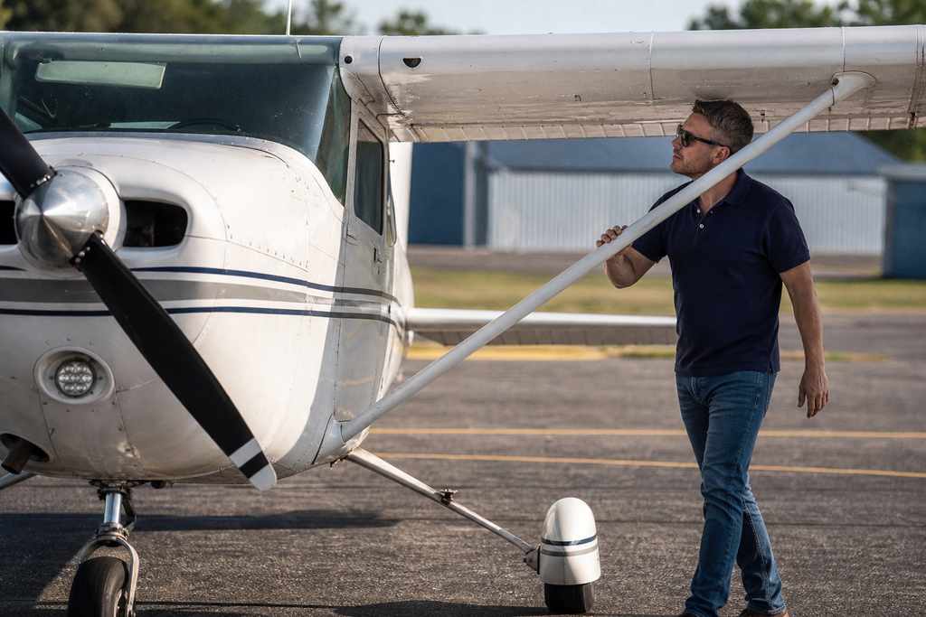
Why surveying and mapping pilots need specialized coverage
Drone surveying and mapping has changed how engineers, contractors, and land developers work. A single flight can generate point clouds, orthomosaic maps, and volumetric data that used to take a survey crew days to collect. But the same flight carries risk that a standard personal drone policy was never designed to handle.
If you fly commercially for surveying or mapping, here is what you need to know before your next job.
What makes surveying different from other drone work
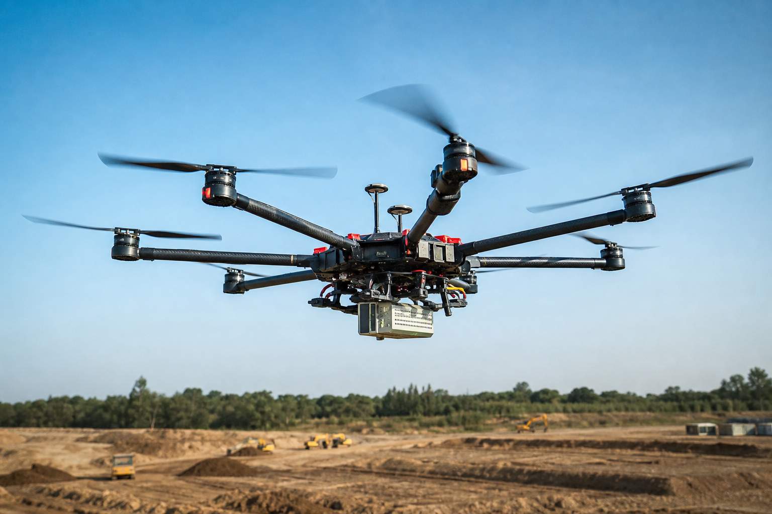
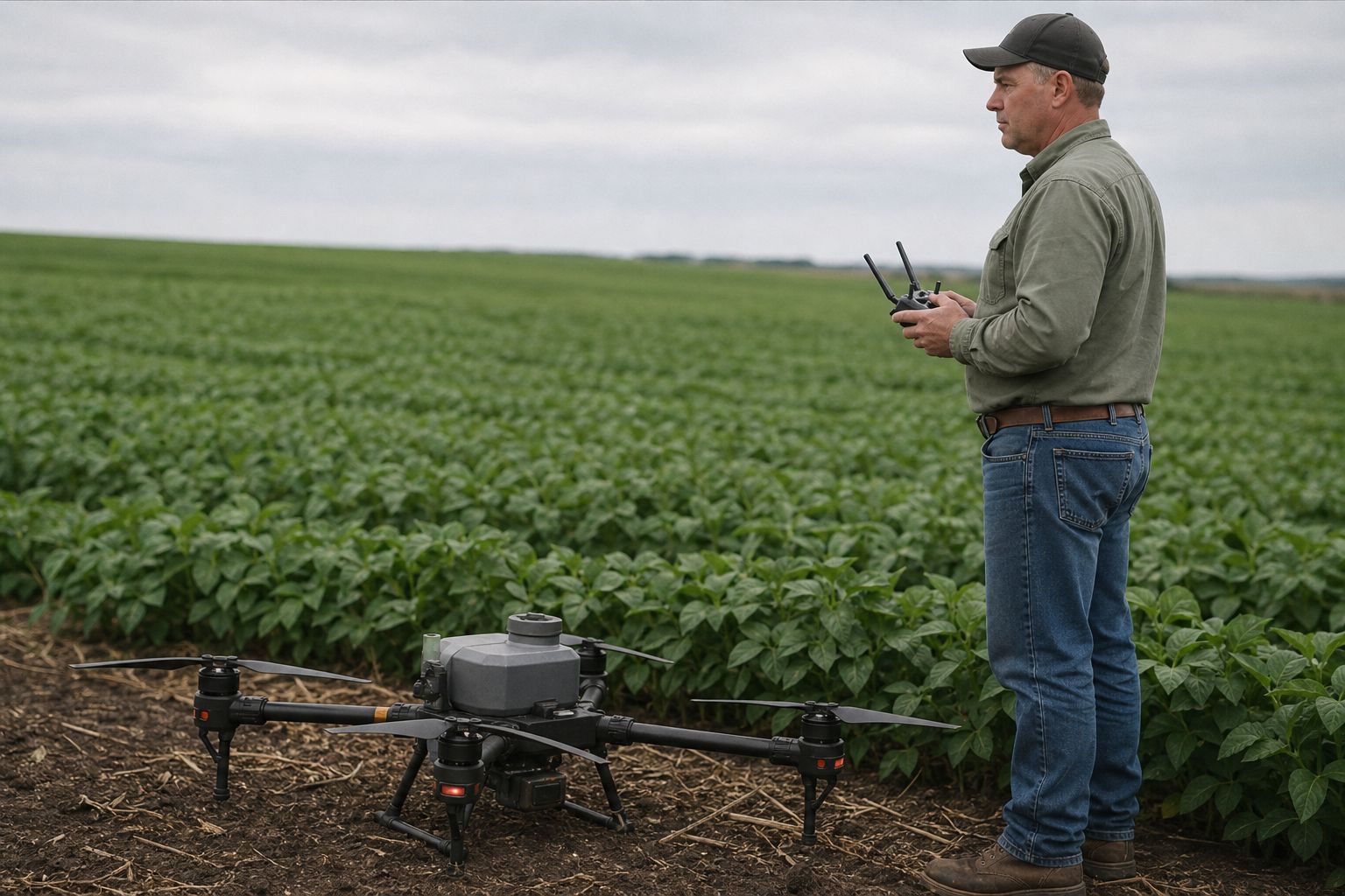
Surveying drones typically carry expensive payloads. A LiDAR sensor alone can run $15,000 to $80,000. Photogrammetry rigs, RTK GNSS receivers, and multispectral cameras push that number higher. These sensors are not incidental equipment. They are the entire point of the flight.
Standard hull coverage often protects the airframe but excludes attached payload equipment. That gap matters when the payload costs more than the drone itself.
Surveying pilots also operate over construction sites, highways under development, private land, and infrastructure corridors. Third-party liability exposure is real. A drone failure over an active construction site is not a small claim.
The coverage a surveying pilot actually needs
Liability limits that match the job. Most commercial contracts for surveying require at least $1 million in liability. Some infrastructure or government work asks for $2 million or more. Know what your client requires before you show up. With SkyWatch, you can get a certificate of insurance the same day and adjust limits to fit the contract.
Payload coverage that actually covers your payload. Ask your insurer specifically whether sensors attached to your drone are included. If the answer is vague, treat it as a no. SkyWatch drone insurance lets you declare payload value so you are not left covering sensor replacement out of pocket.
Flexibility for how you actually work. Survey pilots do not fly every day. If you are on a project basis, paying for 365 days of coverage when you fly 60 makes no financial sense. On-demand and monthly commercial drone insurance options let you match your premium to your actual schedule.
Part 107 and what clients expect
Commercial surveying requires a Part 107 license. Your policy should reflect that. What clients also expect is fast documentation. A certificate of insurance that takes three business days to arrive has cost pilots jobs. Same-day coverage and instant COI generation are competitive requirements for surveying work, not optional extras.
One thing pilots often skip
Waiver of subrogation. Some site owners and general contractors require it in their standard contract language. It means your insurer agrees not to sue the client if there is a claim. Not every drone policy offers it.
Additional insured endorsements matter too. If a client needs to be named on your policy, your insurer needs to handle that quickly. SkyWatch supports both without waiting on an agent for days.
Get covered before the job
Surveying and mapping is one of the fastest-growing commercial drone applications. The work is technical, the equipment is expensive, and contracts are specific about insurance requirements. Coverage that matches what you actually do protects both your equipment and your reputation.
Get a quote for your surveying work at SkyWatch in minutes, choose the coverage that fits your schedule, and fly with confidence.