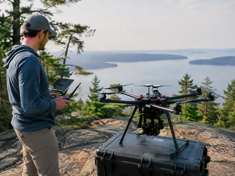
On October 5, 2026, the FAA announced $12 million in awards to 19 companies for drone research and testing. The money comes through the UAS Broad Agency Announcement (BAA) Program, which funds companies working with FAA-designated UAS Test Sites to test technologies that support safe drone integration into the National Airspace System.
The awards also advance the Unleashing American Drone Dominance Executive Order. FAA Administrator Bryan Bedford said the research will give the agency better data and help it understand operational challenges as it integrates these aircraft.
Who received the funds
Several companies won more than one project.
- General Atomics: ground systems that help drones avoid other aircraft.
- NAVMAR: systems to help large drones fly safely.
- SPS Aerial Remote Sensing: three projects covering a drone visibility test, a sensor system for drone traffic management and counter-drone operations, and tools to measure sensor performance.
- ANRA Technologies: four projects covering air taxi and vertiport connectivity, a common altitude reference, links between drone traffic systems and airport air traffic systems, and AI tools to identify drone types.
- Devorto Corporation: a long-range cargo drone service.
- DroneUp: a secure way to verify drone identity and approval to fly.
- OneRadio Corporation: passive radar testing to help drones avoid other aircraft.
- Censys Technologies: satellite communications for long-range drone flights.
- Frequentis USA: a drone technology demonstration.
- Skydweller: onboard systems to help large drones avoid other aircraft.
- Aerial Vantage: tools to manage reserved airspace for drones in cities.
- Lighthouse Avionics: surveillance tools for long-range drone routes.
- ResilienX: software to coordinate drone missions and resources.
- Oklahoma State University: drone visibility technology under the Aero Aware project.
What it means for the UAV industry
BVLOS is the real target. Most projects address problems that block routine beyond-visual-line-of-sight flight: detect-and-avoid, surveillance on long routes, satellite links and identity verification. Operators who want to scale cargo, inspection or mapping depend on these pieces maturing.
Traffic management is getting built. The ANRA, Aerial Vantage and ResilienX projects point to shared altitude references, urban airspace reservations and links between drone and traditional air traffic systems. As drones and crewed aircraft share airspace more often, standards from these projects could shape how operators plan, fly and get approved.
Identity and visibility tools are moving forward. DroneUp's work on verifying identity and approval to fly, along with the drone visibility projects, shows accountability tools are still evolving. Operators should expect more digital proof of who is flying and under what authority.
Test sites are central. Nine FAA-designated test sites, from Alaska to Virginia to Oklahoma, are where the data will come from. That data is likely to inform later decisions.
Security gets funding too. Sensor and AI identification projects show the FAA treating airspace awareness as part of integration.
What operators should do now
These are research awards, not new rules. Nothing changes in your operating requirements today. The direction is clear, though: more automated deconfliction, more identity checks and more complex operations.
Commercial operators should track which technologies become the basis for future approvals. They should also review their documentation, operating records and drone insurance as operations grow more complex. Longer-range and denser operations carry different risk profiles, and coverage should match how you actually fly. Coverage depends on policy terms, so confirm the details for your operation with SkyWatch or your broker.
The FAA is paying for the data that will shape the next phase of drone integration. The companies on this list will influence what that phase looks like.