Terrain mapping has become an essential part of planning, surveying, environmental monitoring, and infrastructure development. As industries demand faster and more accurate geospatial data, drone technology has transformed how terrain information is collected and analyzed.
Traditional surveying methods still play an important role in large-scale projects. However, drone-based mapping now allows organizations to gather highly detailed terrain data in less time and with improved operational efficiency. Among the latest advancements, multispectral drone mapping is helping professionals capture information that standard RGB imaging often cannot detect.
By combining aerial imaging with multispectral sensors, survey teams can analyze terrain conditions, vegetation coverage, moisture variations, and surface irregularities with greater precision. This approach improves decision-making for industries such as construction, mining, agriculture, land development, and environmental management.
What Is Multispectral Terrain Mapping?
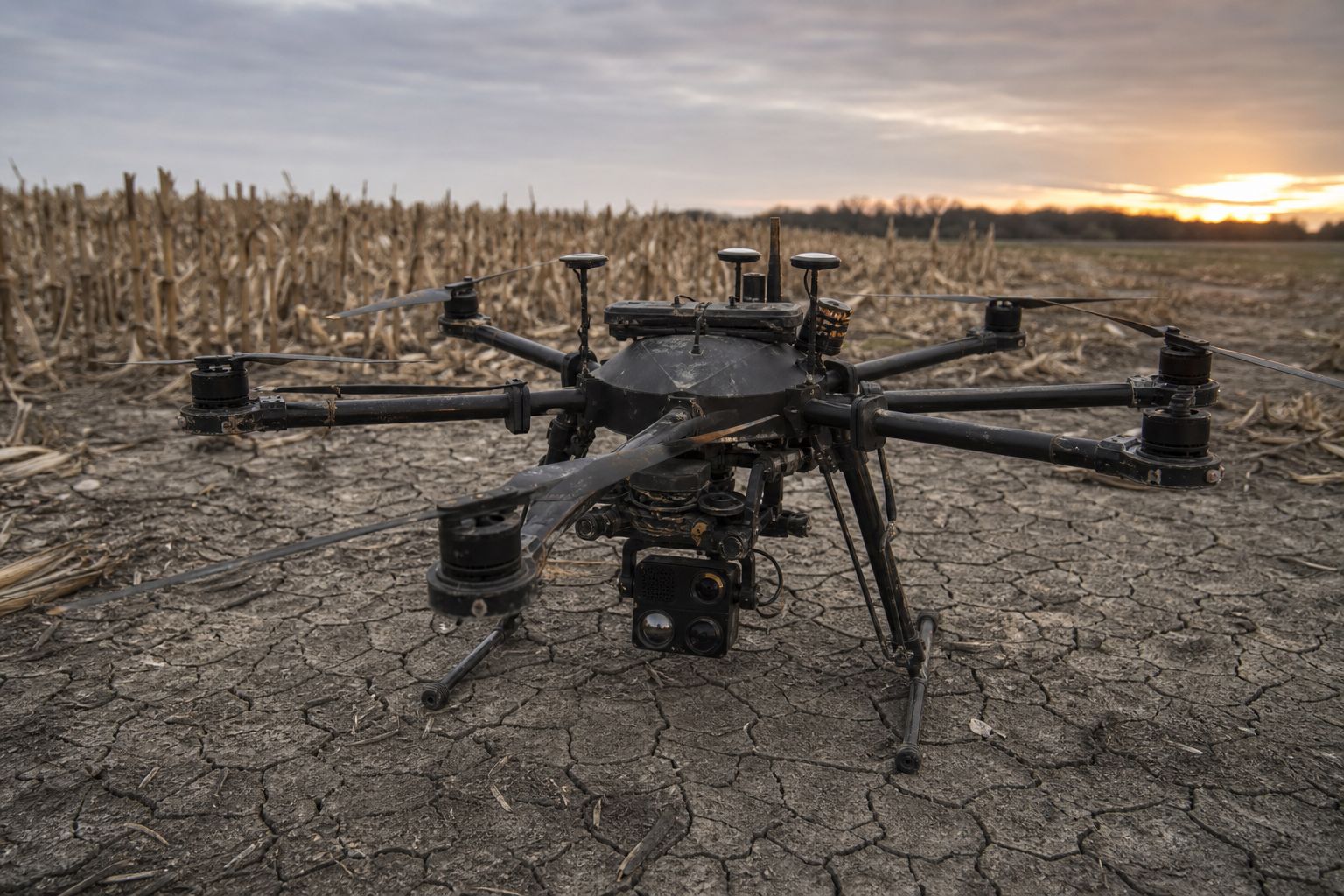
Multispectral terrain mapping collects terrain data using drones equipped with multispectral imaging sensors. Unlike traditional cameras that capture only visible light, multispectral sensors record data across multiple wavelengths, including near-infrared and red-edge bands.
These additional wavelengths reveal surface characteristics that may not be visible through standard aerial photography. Mapping professionals can generate more detailed terrain models and identify subtle environmental variations across a site.
Modern drone surveying workflows often combine multispectral data with photogrammetry to produce outputs such as:
- Digital Terrain Models (DTMs)
- Digital Surface Models (DSMs)
- Orthomosaic maps
- Vegetation index maps
- Elevation analysis datasets
This combination provides a more complete picture of the terrain and surrounding environmental conditions.
How drone terrain mapping works
Drone terrain mapping begins with a planned flight over the project area. During the mission, the UAV captures overlapping images from multiple angles. Specialized photogrammetry software then processes the imagery to generate accurate geospatial outputs.
When multispectral imaging drones are used, the collected data includes information from different spectral bands. This allows surveyors to detect patterns related to vegetation stress, moisture content, land composition, and elevation changes.
Compared to conventional ground surveying, drone mapping can significantly reduce fieldwork time while improving data coverage across difficult or hazardous terrain. Advanced workflows such as multispectral terrain mapping help survey teams identify subtle surface variations and hidden terrain features that standard RGB imagery would miss.
RGB vs multispectral drone mapping
Standard RGB drone cameras capture imagery in red, green, and blue color channels. These cameras work well for visual inspections, orthomosaic generation, and general aerial mapping tasks.
Multispectral drone mapping adds deeper analytical capability by capturing spectral information beyond visible light.
RGB mapping strengths:
- High-resolution visual imagery
- Cost-effective aerial mapping
- Suitable for orthomosaic generation
- Effective for general inspections
Multispectral mapping strengths:
- Detects vegetation health variations
- Improves terrain analysis accuracy
- Supports NDVI and environmental analysis
- Identifies moisture and soil patterns
- Improves land monitoring workflows
For industries that rely on precise terrain interpretation, multispectral imaging adds a layer of intelligence that improves mapping quality and project planning.
Key mapping outputs: DSMs, DTMs, and orthomosaics
Drone photogrammetry produces several important mapping outputs that support surveying and land analysis workflows.
Digital Surface Model (DSM)
A DSM represents the elevation of everything visible on the terrain surface, including vegetation, buildings, machinery, and infrastructure. Useful for construction planning, site analysis, infrastructure monitoring, and obstruction identification.
Digital Terrain Model (DTM)
A DTM focuses on the bare-earth surface by removing surface objects from the elevation model. Commonly used in drainage analysis, land development, road planning, earthwork calculations, and flood risk assessments.
Orthomosaic mapping
Orthomosaic maps are high-resolution aerial images stitched together through photogrammetry software. These maps provide geographically accurate visual representations of a site, supporting survey documentation, asset management, land inspections, and progress tracking.
When combined with multispectral drone mapping, these outputs become more useful for terrain interpretation and environmental analysis.
Industries using multispectral drone mapping
Demand for drone terrain mapping continues to expand across industries where accurate spatial data is critical for planning and operations.
Construction and land development
Construction teams use drone mapping to monitor grading progress, calculate site volumes, and improve project planning accuracy. Multispectral imaging can also identify drainage concerns and soil inconsistencies before construction begins.
Mining operations
Mining companies use UAV terrain mapping to improve safety and operational efficiency. Drone mapping helps monitor stockpiles, track excavation changes, and analyze land stability in active mining zones.
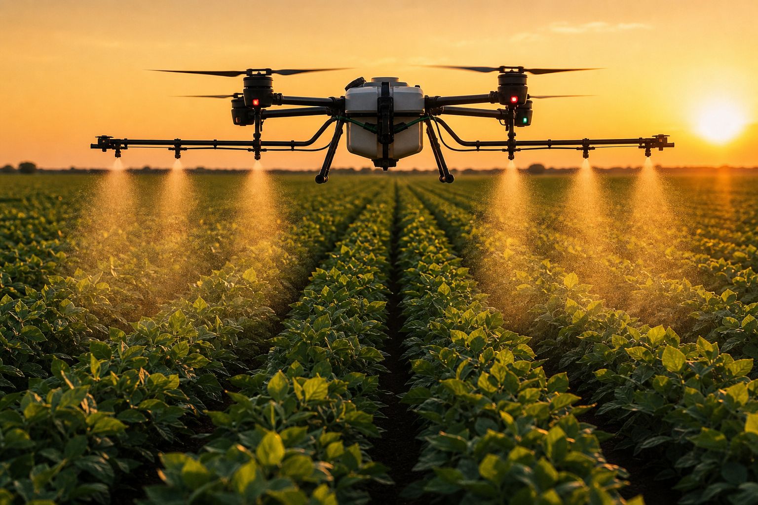
Agriculture and environmental monitoring
Multispectral imaging drones are widely used for vegetation analysis and environmental monitoring. NDVI mapping helps identify crop stress, irrigation problems, and vegetation health patterns across large agricultural areas.
Infrastructure and utility management
Infrastructure inspections often require accurate terrain models for planning and maintenance. Drone surveying improves accessibility while reducing the risks associated with manual field inspections.
Why multispectral mapping improves accuracy
The main advantage of multispectral drone mapping is its ability to detect information that standard imaging misses. Different terrain materials reflect light differently across spectral bands. By analyzing these reflections, survey teams can identify:
- Surface moisture variations
- Vegetation stress
- Soil inconsistencies
- Terrain disturbances
- Drainage patterns
This additional data supports more informed decision-making during planning and development. Drone mapping also covers large areas quickly, reducing the need for repeated manual surveys.
For commercial drone operators running these workflows, having proper commercial drone insurance is a practical requirement. Many clients, particularly in construction, utilities, and government sectors, require proof of coverage before a drone is allowed on site.
The future of drone terrain mapping
Terrain mapping will increasingly combine drone photogrammetry, multispectral imaging, LiDAR, and AI-assisted analytics into integrated geospatial workflows.
As industries adopt digital surveying technologies, multispectral drone mapping is expected to play a growing role in smart infrastructure planning, environmental monitoring, mining automation, precision agriculture, disaster assessment, and large-scale land management.
Advancements in UAV technology and geospatial software will continue improving the quality and accessibility of drone-based terrain mapping solutions.
Conclusion
Drone mapping technology has changed how terrain data is collected, processed, and analyzed across modern industries. While standard aerial imaging has its place, multispectral drone mapping provides a deeper level of terrain intelligence that improves accuracy and project insight.
By capturing data across multiple spectral bands, survey teams can better understand environmental conditions, surface variations, and land characteristics that are difficult to detect through standard imagery alone.
As construction, mining, agriculture, and infrastructure projects continue demanding reliable geospatial data, providers like Drone as a Service (DaaS) help organizations access scalable drone surveying and mapping capabilities without the overhead of in-house infrastructure. For operators looking to protect those missions, SkyWatch offers on-demand drone insurance built for commercial use.
FAQs
What is multispectral drone mapping?
Multispectral drone mapping uses UAVs equipped with multispectral sensors to capture data across multiple wavelengths of light. This helps analyze terrain conditions, vegetation health, and environmental patterns more accurately than standard RGB imaging.
How is multispectral mapping different from RGB drone mapping?
RGB mapping captures visible light imagery. Multispectral mapping records additional spectral bands such as near-infrared and red-edge wavelengths, providing deeper analytical insights for terrain and vegetation analysis.
What industries use drone terrain mapping?
Drone terrain mapping is used in construction, mining, agriculture, environmental monitoring, infrastructure management, and land development.
What is a Digital Terrain Model (DTM)?
A Digital Terrain Model represents the bare-earth surface of a site by removing objects such as vegetation and buildings. DTMs are used for drainage planning, land analysis, and engineering workflows.
Why is multispectral imaging important in surveying?
Multispectral imaging improves surveying accuracy by detecting surface conditions, vegetation stress, moisture variations, and terrain features that standard aerial imagery cannot capture.
Can multispectral drones improve project planning?
Yes. Multispectral drone mapping provides more detailed terrain insights, helping project teams make better decisions during planning, site analysis, and land development.
About Drone as a Service
Drone as a Service (DaaS) provides business and government clients with drone-powered solutions for accurate data collection and AI-driven insights. Every mission is flown by a licensed pilot using an FAA-registered drone, with end-to-end data management included. DaaS serves clients across agriculture, government, energy, construction, real estate, and more through pay-per-use and subscription models. Learn more at droneasaservice.com.